How to get to Kjerag
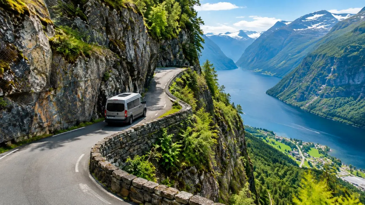
First, understand what you are aiming at
The trail does not start in Lysebotn and it does not start at the fjord. It starts at Øygardstøl, the car park and service building at the top of the pass, known in English as the Eagle's Nest. There are toilets there and, in season, a staffed tourist information desk. I spent eleven summers behind that counter and the single most common question was some version of "how do I get up here", asked by people who were already up here and worrying about the way back. The page on where the trail begins is here.
Driving from Stavanger
The straightforward version is roughly two and a half hours each way. The longer circuit round through Sirdal on E39 and Rv450 is described as about three hours. Either way the last part is Fv500 and its twenty-seven hairpins climbing out of Lysebotn, which is narrow, steep and exactly the kind of mountain pass where meeting a coach requires patience from both drivers. It is not technically difficult. It is slow, and it is much slower than a map suggests.
Parking at the top is paid, and the facility is large, with several hundred spaces. It runs roughly from the middle of May to the end of October, which is close to the life of the road itself. The car park page is here, and the question of whether you can drive all the way to Kjerag is answered plainly on this page.
The ferry to Lysebotn
The other approach is from the water. The MS Lysefjord is run by Kolumbus and sails from Lauvvik to Lysebotn, calling at Forsand, Bratteli, Bakken, Sognesand, Kalleli, Flørli and Håheller along the way. There are roughly two or three departures a day, varying by day and by season, so it is a timetable to read carefully rather than assume. Lauvvik itself is reachable by bus from Stavanger.
Two things to be clear about before you build a day around this. The boat lands you at sea level in Lysebotn, with the trailhead still at the top of the hairpins. And the sailing is long enough that a same-day return combined with a six-to-ten-hour hike is a serious piece of planning rather than a casual one. It is a fine way to arrive if you are staying the night. It is a poor way to attempt a day trip.
Without a car
This is the part people discover late. There is no regular public bus from Stavanger to Lysebotn. Seasonal tourist buses run in peak season, and if your dates land inside that window they are worth checking, but they are not a service you can plan a flight around. For most visitors without a vehicle the reliable answer is a booked tour, because that is the only option that guarantees a seat to the top of the road and back on a date of your choosing. The full and unflattering version is on the no-car page.
Included
- Your own car or a rental, via Sirdal or via the ferry
- The Lauvvik to Lysebotn ferry, then up Fv500
- Seasonal tourist buses, in peak season only
- A booked guided day out of Stavanger, van included
- A private car and guide, with hotel pickup
Not included
- Any regular year-round public bus to Lysebotn
- Any train, anywhere near the trailhead
- A road to the boulder, or to the plateau
- Road access at all for roughly half the year
The season is part of the route
Fv500 generally opens in late May or early June and closes again in October or November, depending on snow. When it closes, the chains on the steep slabs come down with it. So "how do I get there" and "when am I going" are the same question at Kjerag in a way they are not at most mountains. If your dates sit near either end of that window, read the season page and the road page before you commit to anything.
Check the road before you check the weather. A clear forecast is no use at all if Fv500 has not opened yet, and every year a few people arrive in Lysebotn in May to find out the hard way.
Getting there from a cruise ship
Stavanger is a cruise port and this question comes up constantly. The arithmetic does not work: five hours of road plus six to ten hours of walking does not fit inside a normal port call, and the consequence of getting it wrong is watching your ship leave. The page that lays this out, and suggests what to do with the day instead, is the cruise-ship page.
The tours, and what each of them actually solves
All of them solve the road. What differs is the shape of the day around it.
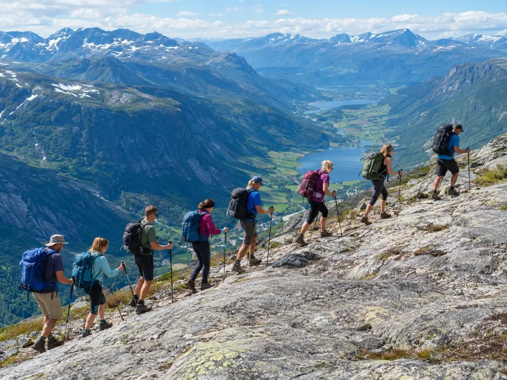 Eight people maximum
Stavanger: Kjerag Hike with Guide and Transportation
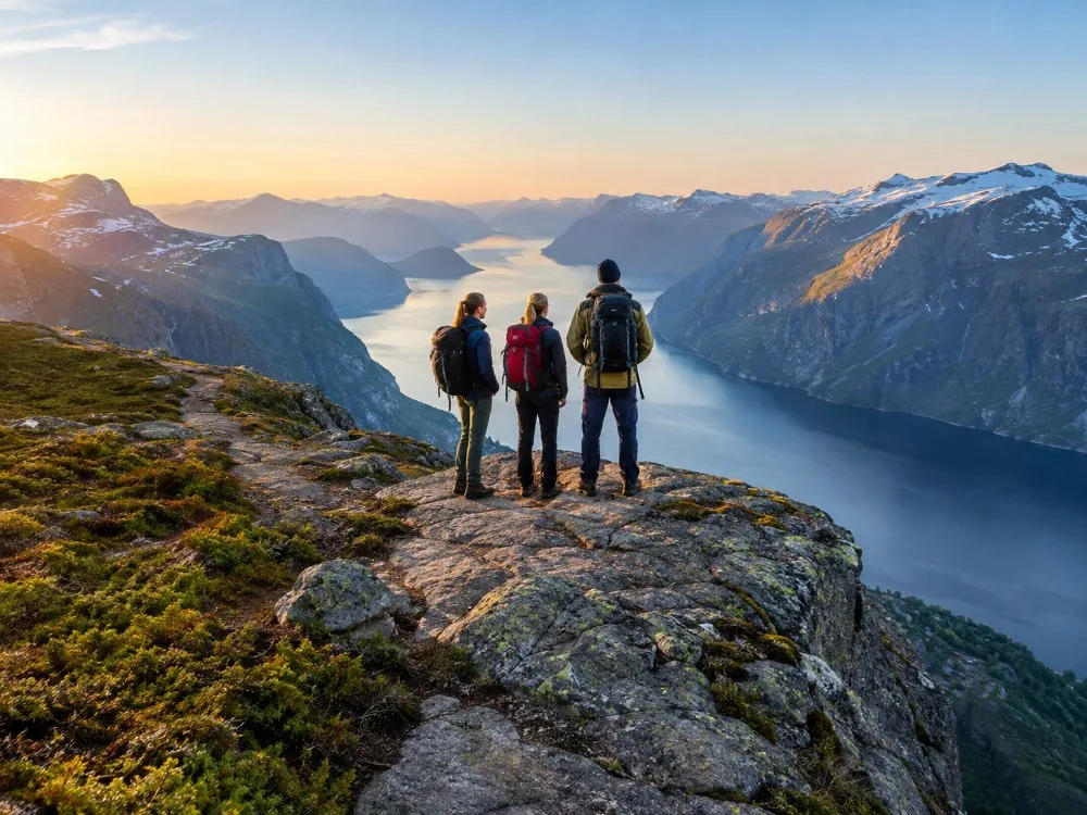 Your group only
Privately Guided Hike to Kjeragbolten with a Local Guide
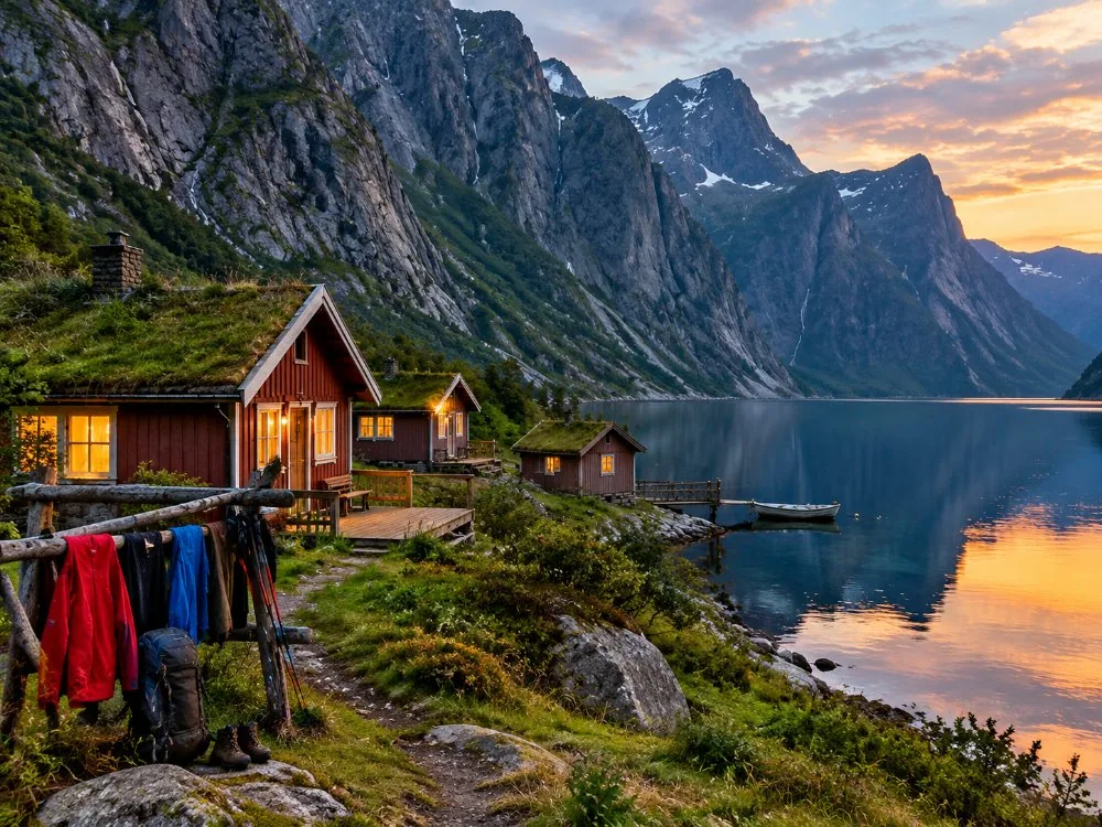 Both cliffs, one trip
Stavanger: 2-Day Adventure with Preikestolen & Kjerag Hikes
The guided day is a van out of Stavanger with hotel pickup, a safety briefing and a group of no more than eight. The private version is your group only, in an electric vehicle, with parking and entry fees included and a guide who holds a commercial driving licence. The two-day trip sleeps in Lysebotn so the long drive is not attached to the hiking day. Compared side by side on which one to choose, and every option out of the city is on the from-Stavanger page.
Book the ride
A word about what that widget books. It books the ride out of Stavanger and, on most of these, a guide. It does not book Kjerag. Nobody sells a ticket to the trail: it is free, open and unguided, and anyone who gets themselves to the top of the road can walk up it without paying a soul.
Frequently asked questions
How do you get to Kjeragbolten from Stavanger?
By road in about two and a half hours each way, or by the Lauvvik ferry to Lysebotn and then up Fv500: every route out of the city.
Is there a bus to Kjerag?
There is no regular public bus to Lysebotn. Seasonal tourist buses run in peak season only: the no-car page.
Can you drive all the way to the trailhead?
Yes, when the road is open. It ends at the Øygardstøl car park at the top of 27 hairpin bends: the driving page.
When is the road to Kjerag open?
Generally late May or early June until October or November, depending on snow: the road and the hairpins.
Where does the Kjerag trail start?
At Øygardstøl, the car park and service building above Lysebotn: where it starts.