What to know before you come
- Nobody has fallen off the boulder. There is no recorded death from a fall off Kjeragbolten in Norwegian history, across decades and tens of thousands of visitors a year: has anyone fallen.
- The deaths people read about belong to BASE jumping. Kjerag is one of the best-known BASE cliffs in the world, jumpers have been killed there, and accidents are reported most years. It is a different sport off the same rock: BASE jumping.
- What hurts hikers is the trail, not the drop. Around 760 to 800 metres of climbing over three ascents and two descents, much of it on bare slab, and most of the turned ankles happen on tired legs coming down: how hard it is.
- The road decides your dates, not the weather forecast. Fv500 above Lysebotn generally opens in late May or early June and closes in October or November, and the chains come down with it: the road and the hairpins.
- Start early or do not start. Six to ten hours on the trail plus two and a half hours of road each way is the entire day, and there is a last sensible start time: the best time of day.
- You can see the Lysefjord without any of this. The electric cruise from Stavanger runs into the fjord and back in a morning, with no walking at all: the cruise.
What the guided hike from Stavanger covers
The flagship booking on this page, and the one most people end up taking. A van out of Stavanger, two and a half hours each way, a briefing before you start, about five and a half hours on the mountain, and eight people at most.
What you get
- Hotel pickup in Stavanger and a drop-off at the end, so the day does not start with a bus timetable
- The drive out and back, about two and a half hours in each direction
- A safety briefing before the first climb, in English or Norwegian
- A guide on the mountain with you for roughly five and a half hours, and a group capped at eight
What it solves
- No regular public bus runs from Stavanger to Lysebotn: getting there without a car
- The 27 hairpin bends of Fv500 are somebody else’s problem: the road
- No car park to find or pay at on arrival: how parking works
- Somebody with you who has seen the slabs wet before: do you need a guide
What to know
- You are paying for transport and guiding, never for entry, because there is no entry: the hike is free
- It is still about 11 km on your own legs, and nobody carries you: how long it takes
- An eleven-hour day does not fit a normal cruise-ship call: doing it from a ship
- If you want your own group and your own pace, that is a different booking: the private hike
The trail, in the order you actually walk it
Seven stages between the car park and the boulder. The photographs you have seen show the last thirty seconds of this list, which is why so many people arrive without any idea what the other six hours look like.
The trail starts at Øygardstøl, the car park at the top of the hairpins above Lysebotn, known in English as the Eagle’s Nest. From there it goes up, down, up, down and up again: three ascents and two descents, around 760 to 800 metres of climbing in total, over about 11 km there and back. Several hundred metres of chain are bolted along the steepest slabs. I sold coffee in the service building for eleven summers, and the thing people had least expected was never the boulder. It was the second climb.
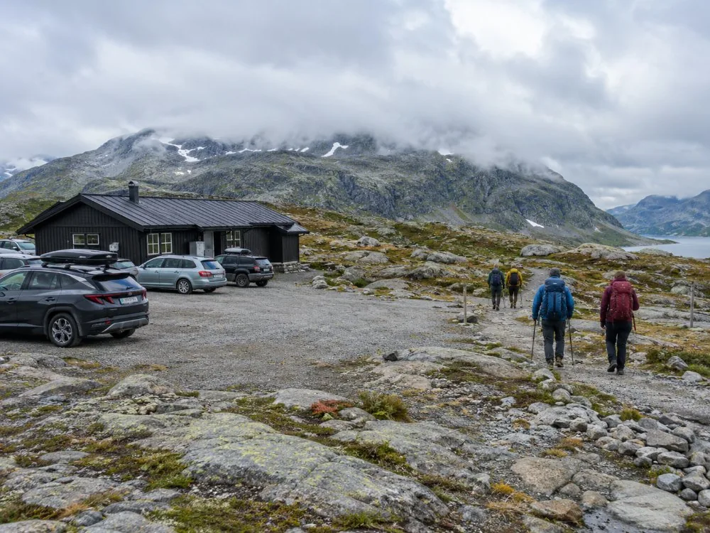
- The car park and the service building — Øygardstøl has toilets, a staffed tourist information desk in season and a map on the wall, and the parking is paid, with room for several hundred cars. The facility runs roughly from the middle of May to the end of October. Why this matters: the desk is the last place anyone will tell you the truth about the conditions on top, and the car park is frequently in sunshine while the plateau is in fog. See where the trail starts and how the car park works.
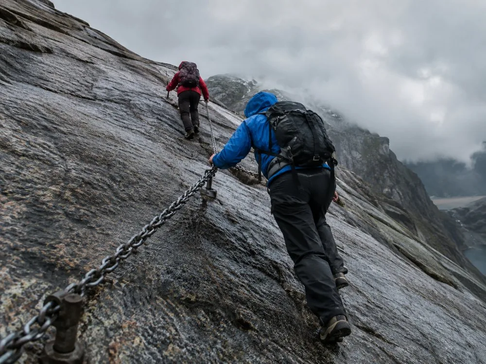
- The first climb, and the first chains — The path leaves the car park and goes almost immediately onto bare rock, steep enough that chains are bolted into the slab for you to hold. They are taken down when the road closes for winter and put back when it opens. Why this matters: the hardest ground comes before your legs are warm, and this is where people find out what they signed up for. Turning round here costs you nothing and is sometimes the right call. See the chains.
- Down into Litle Stordal — You give the height back. The trail drops into Litle Stordal, the named dip on the way out, and everything you climbed in the first hour is spent. Why this matters: this is where the elevation arithmetic stops being theoretical. The total climb is around 760 to 800 metres because you do it in three pieces, not one, and you repeat the whole pattern in reverse on the way home. See the trail in detail.
- The second climb — Out of the dip and up the second slab, chains again on the steep sections. Why this matters: the second climb is the one that breaks people, because the first one has already taken something and there is still a third to come. If you are going to turn back, this is the last stage where doing so is cheap. See how hard is it.
- The second dip — A shorter descent, and then flatter walking across open rock. Why this matters: the ground is easier here and the temptation is to make up time on it. Do not. The descents are what your knees will remember, and you have two more of them on the return. See honest timings.
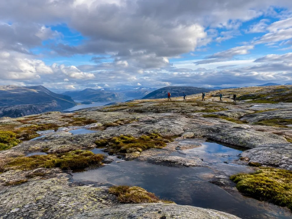
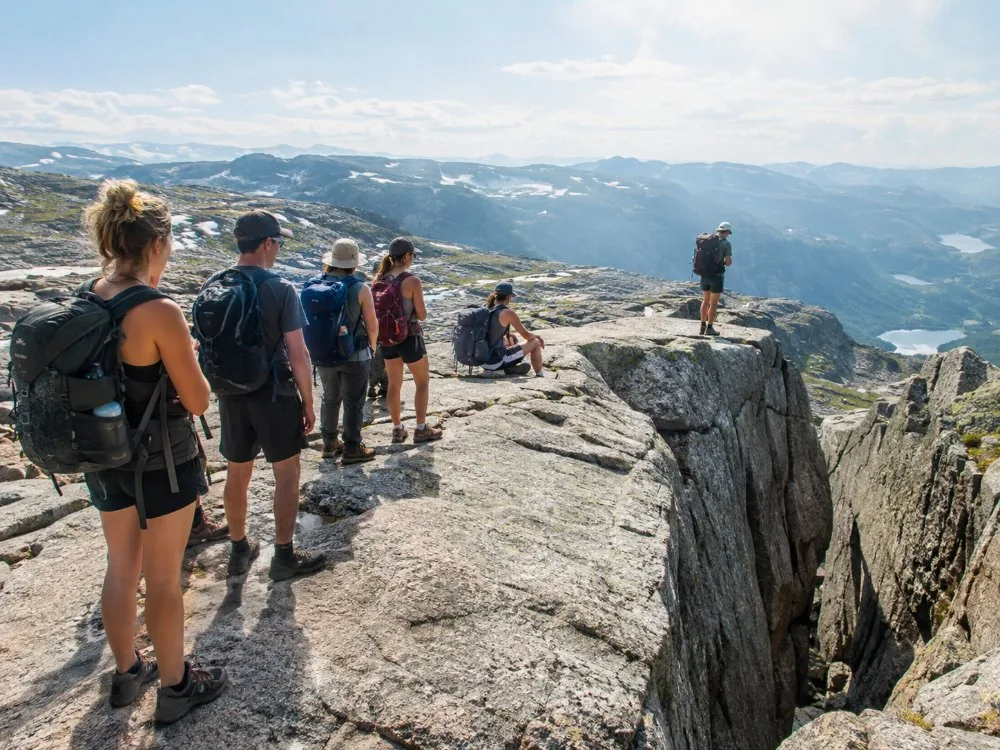
- The third climb onto the Kjerag plateau — The last ascent puts you on the plateau itself, high open rock marked by cairns, with the fjord side to your right. Why this matters: this is where the weather stops being a background detail. Visit Norway names strong wind, heavy rain and fog as reasons to turn back, and the wind that comes up the fjord side arrives here first. Wet rock is slippery and there is a great deal of it. See weather and rain and hiking it in the rain.
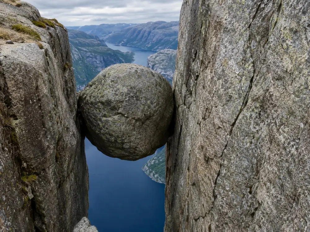
- The walk out to the boulder, and the queue — Across the plateau to the crevice, where the boulder sits wedged between two rock walls. You step onto it from the side, a stride of about half a metre onto a flat top, with no equipment and none provided. Why this matters: on an August afternoon there is a queue, and it is a real queue, with people taking turns for photographs. Budget for it, or arrive before it forms. See the boulder and the crowds.
Allow 6 to 10 hours for the round trip, which is Visit Norway’s own figure. Fit walkers do it in about six, and the fjord region’s tourist board quotes that as the fast end rather than the normal one. I would not plan a day around anything under six hours. Add two and a half hours of road at each end and you have the whole of it: how long it takes and when to start.
Sorting the day out, in four steps
Check the road before you check anything else
Fv500 above Lysebotn is a narrow mountain pass that generally opens in late May or early June and closes in October or November, depending on snow. The chains on the slabs come down with it. Outside that window the hike needs winter equipment and a guide. Start here: the road and the hairpins and the best time to visit.
Work out how you reach the top of that road
With a car it is E39 and Rv450 through Sirdal, about three hours from Stavanger, or the Kolumbus ferry MS Lysefjord from Lauvvik to Lysebotn and up the bends from there. Without a car there is no regular public bus, only seasonal tourist buses in peak season, which is why a booked tour is the reliable answer: getting there and without a car.
Pick the format that matches your day, not the shortest one
An eleven-hour van day, a private group with its own pace, two days with a night in Lysebotn, a boat with no walking, or the shorter neighbour across the fjord. These solve different problems, and two of them involve no Kjerag at all. The decision table is on which one to choose.
Start early, and pack for wet rock
Six to ten hours of walking plus five hours of road leaves no margin for a late start. Boots with a real sole, layers for wind on an exposed plateau, food, water and a headlamp: what to wear and what to bring.
The guided hike from Stavanger, date by date
Live dates for the flagship option: hotel pickup in Stavanger, the van out and back, a briefing, a guide on the mountain and eight people at most. If you want your own group, two days, or no walking whatsoever, the comparison below sends you somewhere better.
Boat, guided hike, or your own group?
Three different situations rather than three versions of the same day. The cruise is for people who want the Lysefjord and no mountain. The guided hike is the standard answer for anyone without a car. The private version is for a group that wants its own pace, and it runs outside the summer season as well.
| Stavanger: Electric Fjord Cruise to Lysefjord & Preikestolen | Our pickStavanger: Kjerag Hike with Guide and Transportation | Privately Guided Hike to Kjeragbolten with a Local Guide | |
|---|---|---|---|
| Where it starts | Stavanger, by boat | Your hotel in Stavanger | Your hotel in Stavanger |
| Duration | 3 hrs 30 | 11 hrs door to door | 12 hrs door to door |
| Walking | None at all | About 11 km, roughly 5½ hrs on the mountain | About 11 km, 5 to 6 hrs of hiking |
| What you see | Hengjanefossen, the Vagabond’s Cave, Preikestolen from below | Kjeragbolten, and the plateau it hangs under | Kjeragbolten, at your own pace |
| Group | Electric catamaran | Eight people maximum | Your group only |
| Guide | On board | English and Norwegian | A local guide who also drives |
| Season | Runs through the main season | While the road above Lysebotn is open | Year-round, with crampons when needed |
| Best for | Bad knees, small children, half a day in Stavanger | No car, and one day to spend on Kjerag | Families, slow walkers, dates outside the open road season |
| View → | Book this → | View → |
Photo gallery
Kjerag in pictures
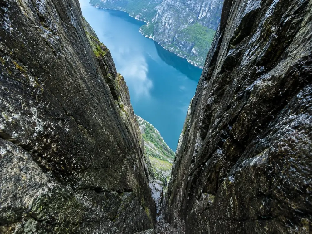
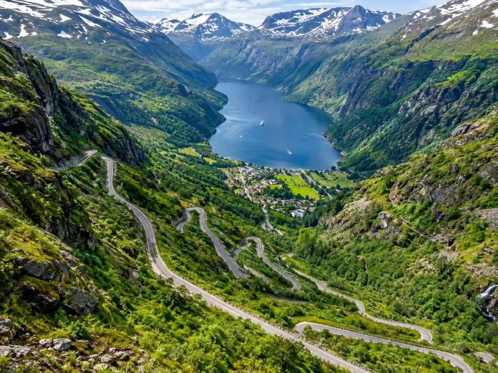
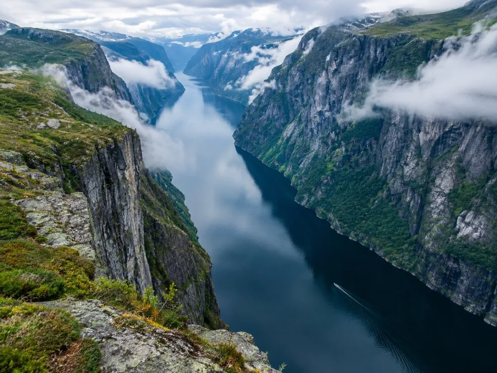
The boulder and the crevice it sits in, then the parts nobody photographs: the chains on the slabs, the plateau, the hairpins, the car park, the fjord, the queue on an August afternoon, and the mountain under snow.
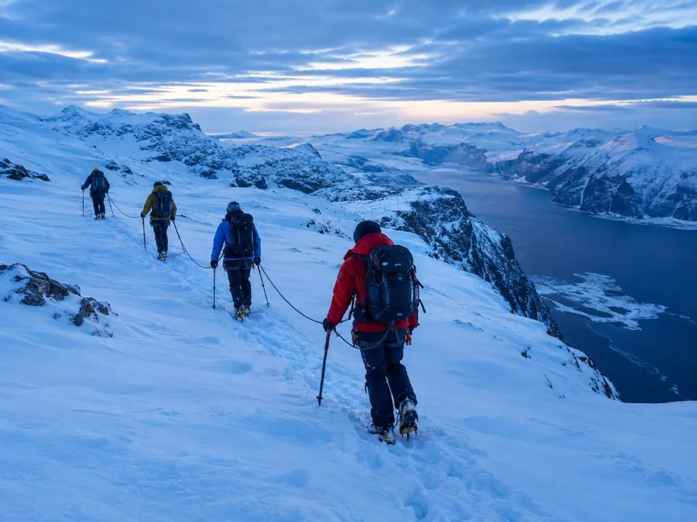
The six bookings, side by side
Two ways to walk Kjerag, a two-day version with a night in Lysebotn, the boat that does no walking, the shorter neighbour across the fjord, and a staircase of 4,444 wooden steps reachable only by water. Our page-by-page reviews are on the reviews page, and the decision is on which one to choose.
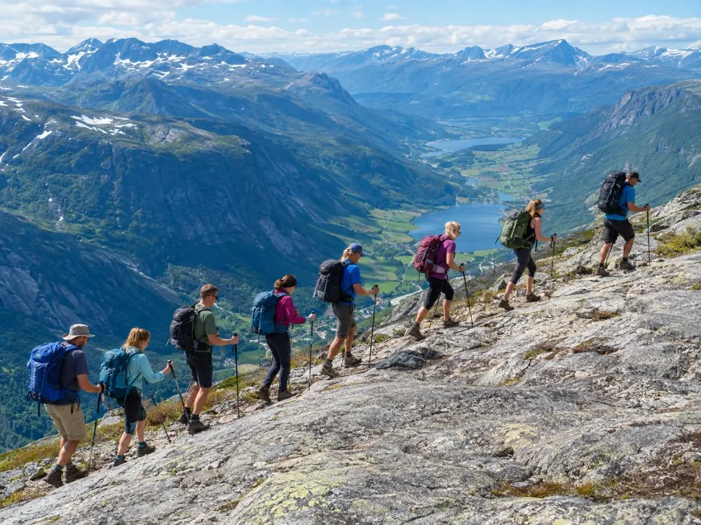 Eight people maximum
Stavanger: Kjerag Hike with Guide and Transportation
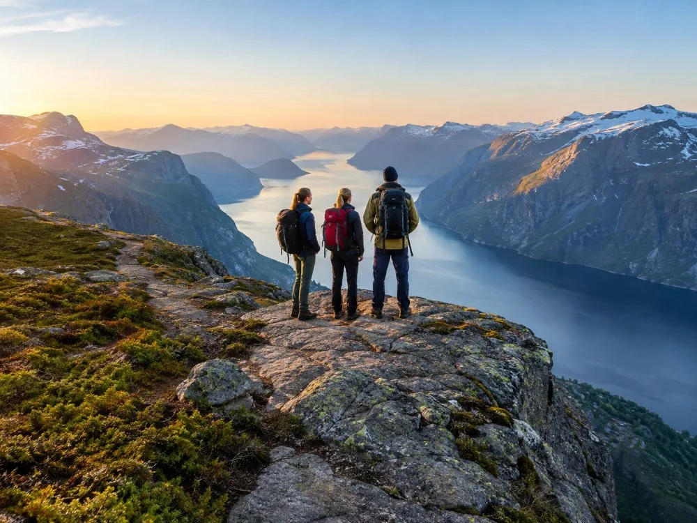 Your group only
Privately Guided Hike to Kjeragbolten with a Local Guide
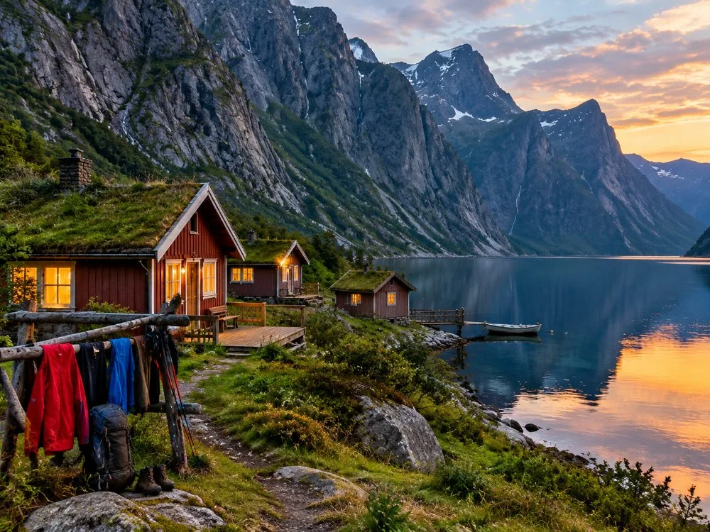 Both cliffs, one trip
Stavanger: 2-Day Adventure with Preikestolen & Kjerag Hikes
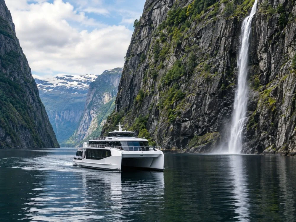 No hiking at all
Stavanger: Electric Fjord Cruise to Lysefjord & Preikestolen
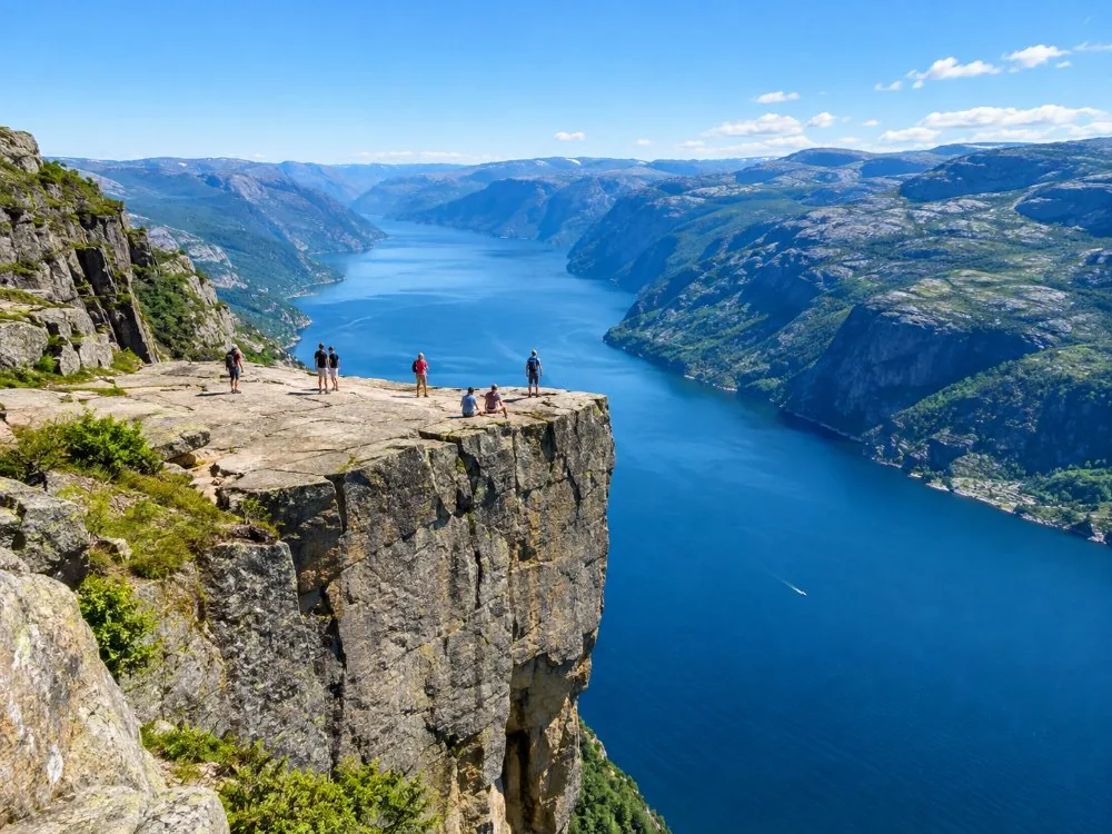 The shorter neighbour
Stavanger: Preikestolen (Pulpit Rock) Hike with Local Guide
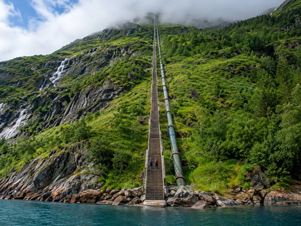 4,444 wooden steps
Flørli 4444: RIB Boat and Hike on the Lysefjord
What people who went say
Taken from the live GetYourGuide reviews of the six products compared here, first names as given. I have left the lukewarm ones in.
Long day, but the timings were honest and the group stayed together the whole way.
Pickup at the hotel, a calm pace, and nobody rushed us at the top.
Two big walks and a bed in between. Well organised, though the second morning came early.
Quiet boat and good windows. We got close to the waterfall.
Fine walk and a friendly guide, but it was a lot busier than I had expected.
The steps are relentless. I was slower than I thought I would be.
Ratings and review counts are the live GetYourGuide figures from the operators. Read our full reviews ›
Before you book
The four questions I answered most often across the counter at Øygardstøl.
Is the boulder actually dangerous?
Less than the photographs suggest. You step onto it from the side, about half a metre, onto a flat top, with rock on both sides of the crevice, and there is no recorded death from a fall off Kjeragbolten in Norwegian history. What does injure people here is the trail: wet slabs, three ascents, two descents, and tired legs on the way down. See has anyone fallen and how safe is it.
Then why do I keep reading about deaths at Kjerag?
Because Kjerag is one of the best-known BASE jumping cliffs in the world. Jumpers have been killed there and accidents are reported most years, and almost every fatality figure you will find online belongs to that sport rather than to hiking. They use the same rock and they are not doing the same thing. See BASE jumping and how many have died.
Do you need a guide?
In the open season, with good weather, no. The trail is busy and the chains are up. Outside that season the answer changes completely: winter equipment and a guide, because the road is shut, the chains are down and you are walking into snow. The other reason people book one is transport, which is a separate problem. See do you need a guide.
Can it be done as a cruise-ship excursion?
Not sensibly. Six to ten hours of walking with two and a half hours of road at each end does not fit a normal port call, and a missed van is a missed ship. Preikestolen or the Lysefjord cruise are the honest answers for a day in port. See the cruise-ship page.
Those dates don’t work?
Browse the other Kjerag hikes and Lysefjord trips running out of Stavanger, and pick a day that suits you — instant confirmation.
Kjerag, explained
Kjerag is a mountain on the south side of the Lysefjord in Sandnes municipality, Rogaland, Norway, rising to about 1,084 metres and holding in one of its crevices Kjeragbolten, a boulder of roughly five cubic metres suspended 984 metres above the water and reached on a free, unguided trail of about 11 km round trip. I grew up on the Sirdal side and worked eleven summer seasons in the service building at Øygardstøl, the car park at the top of the hairpins where the trail starts, so I watched a great many people come back down. Almost everything that goes wrong here starts with fear pointed at the wrong object.
The boulder is not the dangerous part
People arrive having read that this is the scariest hike in the world, frightened of a stone. Stepping onto Kjeragbolten is a stride of about half a metre, from the side, onto a flat top, with rock on both sides of the crevice, and no equipment is needed or provided. There is no recorded death from falling off the boulder in Norwegian history; one widely-cited safety write-up recorded no fatality and no accident there as of the middle of 2023. That is a record rather than a promise. What sends people back down the hairpins in an ambulance is the trail: falls on wet slab away from the boulder, broken bones, turned ankles. Read how safe it is first.
What kills people at Kjerag is a different sport
Kjerag is one of the best-known BASE jumping cliffs in the world. Jumpers have been killed there, and accidents are reported most years. Those numbers travel, attach themselves to the word Kjerag, and end up in front of somebody who only wants to walk up a hill and take a photograph. The two activities share a cliff and nothing else: BASE jumping and how many have died.
Nobody sells a ticket to this
The trail is free, open, unguided, unstaffed and ungated: no permit, no time slot, no booking. So anything sold with Kjerag in the title is selling the ride out of Stavanger, the guide, or on one product the boat instead of the mountain. People write to me convinced they have to reserve a place. They do not: the hike is free and what the day involves.
The road is the constraint, not your fitness
The trailhead sits at the top of 27 hairpin bends on Fv500 above Lysebotn, and that road is shut by snow for most of the year. It generally opens in late May or early June and closes again in October or November, and the several hundred metres of chain bolted along the steepest slabs come down with it. The parking facility runs roughly from the middle of May to the end of October. So the first planning question is not whether you can manage the climb. It is whether the road is open on your dates: the road and the hairpins.
From Stavanger by car it is E39 and Rv450 through Sirdal, roughly three hours. The other way in is the Kolumbus ferry MS Lysefjord from Lauvvik to Lysebotn, with roughly two or three departures a day depending on the season. What does not exist is a regular public bus from Stavanger to Lysebotn. Seasonal tourist buses run in peak season and that is the whole of it, which is why a booked tour is the reliable option without a car: without a car.
Three climbs, two descents, and one named dip
About 11 km round trip and 6 to 10 hours for most people, which is Visit Norway’s own figure. Fit walkers manage around six, quoted by the fjord region’s tourist board as the fast end rather than the normal one, so do not plan a day on anything shorter. The total climb is around 760 to 800 metres, and it surprises people because it arrives in three pieces: up, down into Litle Stordal, up again, down again, up onto the plateau. Then you reverse all of it on tired legs. Visit Norway names strong wind, heavy rain and fog as conditions to turn back for. What no forecast tells you is that the car park can sit in full sunshine while the plateau is inside a cloud. See the trail and weather and rain.
How the boulder got there
Kjeragbolten is a glacial deposit, left during the last glaciation around 50,000 BC and wedged into the crevice when the land rebounded after the ice melted faster than the sea rose. It has been sitting there a very long time and shows no sign of moving: the boulder.
The neighbours, if Kjerag is the wrong answer
Preikestolen is on the north side of the same fjord: a flat plateau 604 metres above the water, about 8 km round trip, 4 to 5 hours, no chains, and an hour from Stavanger rather than two and a half. It is the easier of the two by a wide margin. Trolltunga, over in Odda, is a much longer day, roughly two and a half times the length of Kjerag. Those three are the big three: Kjerag or Preikestolen and Kjerag or Trolltunga.
What I would tell someone coming once
Come inside the open season and start early: six to ten hours on the trail plus two and a half hours of road at each end is the whole day, with no margin in it. Wear boots that grip wet rock; I am opinionated about footwear and I have earned it. Turn back for wind, heavy rain or fog without feeling you have failed, because the people who turned round at the first chain were usually right. Expect a queue at the boulder on an August afternoon. The emergency number in Norway is 113. And if the road is shut, take the fjord from the water instead: is it worth it.
Frequently asked questions
Do you need a ticket to hike Kjerag?
No. The trail is free, open, unguided and ungated, with no permit, no time slot and nobody taking your name. Parking at the trailhead is paid, and that is the only outlay you cannot avoid if you drive. Everything else on offer is transport or guiding: is the hike free.
Has anyone ever fallen off Kjeragbolten?
There is no recorded death from falling off the boulder in Norwegian history, across decades and tens of thousands of visitors a year. One widely-cited safety write-up put it as no fatality and no accident at Kjeragbolten as of the middle of 2023. Treat that as a record, not as a guarantee: has anyone fallen.
How many people have died at Kjerag?
The figures people find online overwhelmingly belong to BASE jumping, which is a different sport practised by a different set of people off the same cliff. Jumpers have been killed there, and accidents are reported most years. Hikers are injured too, from falls on the trail away from the boulder, and no reliable count of those exists: how many have died and BASE jumping.
How long does the Kjerag hike take?
About 11 km round trip, and 6 to 10 hours for most people, which is Visit Norway’s own figure. The fjord region’s tourist board quotes around six hours as the fast end. Add two and a half hours of road in each direction from Stavanger and the day is gone: how long it takes.
How hard is it, really?
Harder than the height suggests, and the difficulty is in the shape of the route rather than the drop. Around 760 to 800 metres of climbing accumulated over three ascents and two descents, much of it on bare slab steep enough to need chains, with the named dip at Litle Stordal in the middle: how hard is it and the trail.
How high is Kjeragbolten?
The boulder hangs about 984 metres, or 3,228 feet, above the Lysefjord. The highest point of Kjerag itself is about 1,084 metres above sea level, which makes it the highest point on the fjord: how high it is.
What are the chains on the Kjerag trail?
Several hundred metres of chain are bolted along the steepest slabs, to hold while you climb and descend. They are removed when the road closes for winter and reinstalled when it opens, so a trip outside the open season is a different undertaking with different equipment: the chains.
When is the road to the trailhead open?
Fv500 and its 27 hairpin bends above Lysebotn generally open in late May or early June and close in October or November, depending on snow. The parking facility at Øygardstøl operates roughly from the middle of May to the end of October: the road and the best time to visit.
How do you get to Kjerag from Stavanger?
By car it is E39 and Rv450 through Sirdal, roughly three hours, then up the hairpins from Lysebotn. The other route is the Kolumbus ferry MS Lysefjord from Lauvvik to Lysebotn, with roughly two or three departures a day depending on the season. There is no regular public bus: getting there.
Can you get to Kjerag without a car?
Not reliably on public transport. Seasonal tourist buses run in peak season and the Lauvvik ferry reaches Lysebotn, but nothing regular connects Stavanger to the trailhead, so in practice it is a booked tour or a rental: without a car.
Is there a fence or a railing at the boulder?
No. There is no fence, no railing and no barrier, and no equipment is provided. You step onto the boulder from the side, a stride of about half a metre onto a flat top, with rock on both sides of the crevice: there is no fence and is it scary.
Is Kjerag harder than Trolltunga or Preikestolen?
Preikestolen is the easier of the two Lysefjord walks: a flat plateau 604 metres above the water, about 8 km round trip, 4 to 5 hours, no chains, and about an hour from Stavanger. Trolltunga, over in Odda, is roughly two and a half times the length of Kjerag and a full day of walking. Kjerag is shorter than Trolltunga but steeper per kilometre: Kjerag or Preikestolen and Kjerag or Trolltunga.
How did the boulder get there?
It is a glacial deposit, left during the last glaciation around 50,000 BC and wedged into the crevice when the land rebounded after the ice melted faster than the sea rose. The valley around it was formed and re-formed by meltwater through many glaciation cycles: the boulder.
Still have a question? Write to us at [email protected]